As you may have heard, an archaeologist has announced the possible discovery of King Herod’s tomb at Herodium, Israel.
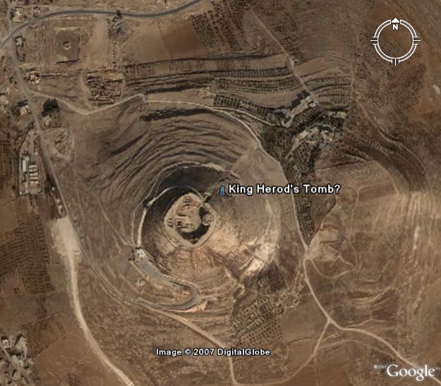
When people announce archaeological discoveries, wouldn’t it be helpful if newspapers printed the coordinates of the discovery so you can look at the site in Google Earth? I think it would, so here they are: 31.666334N, 35.242072E
Someone created a KMZ for Google Earth (also see the forum post).
Here’s a detailed Google Earth image of the site:
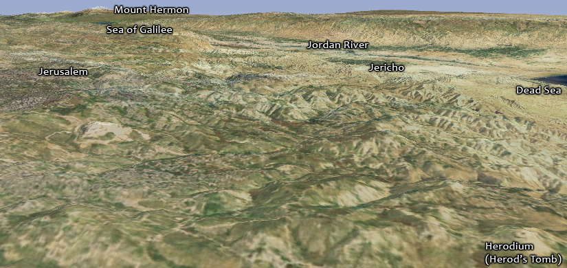
Here’s Herodium in a wider context (looking northeast). Jerusalem is about eight miles (13 km) north of Herodium.
[…] You can view the site at Google Maps or Google Earth (HT: OpenBible.info). Herod the Great, who ruled over Judaea from about 37 to 4 BC, is perhaps best known for his […]
[…] following image, for example, from a post about Herod the Great’s tomb, uses the i-cubed imagery in World […]