Itiner-e is a new and free (CC-BY) dataset of Roman roads, supplanting AWMC as the most-extensive and highest-resolution road data available. The announcement article in Nature describes the labor-intensive process of creating the 14,769 road segments that constitute the dataset.
The dataset itself is available from Zenodo. I also had ChatGPT turn it into a Google Earth KMZ if you’d like to explore it in that application.
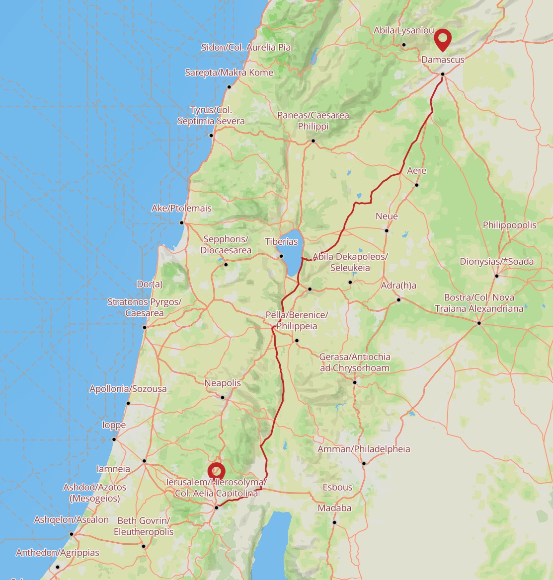
Compared to past datasets, it more-extensively fills out roads in the Roman province of Judea, which is relevant to much of the New Testament. Here, for example, is a possible route that Saul took between Jerusalem and Damascus for his “road to Damascus” moment. The Itiner-e tool also tells you that it would have taken about 68 hours to walk this distance.
Thanks for posting this. I wasn’t aware of this effort. I’ll look into using it to refine my map at https://viz.bible/journeys/ and perhaps expand into new visualizations.