The Pelagios Project has produced a lovely zoomable map of the Greco-Roman world. Below, for example, is a static view of Israel during the Roman period.
A blog post about the map discusses how they created it (plus bonus technical background). I’m most impressed by how attractive the maps are—a lot of online maps present you the data but don’t try to be beautiful; this map succeeds on both counts.
More generally, the Pelagios Project, which I admit I hadn’t heard of before today, incorporates linked data to help people study the ancient world. It encompasses a variety of efforts (need to search for an inscription from ancient Palestine? No problem)—it’s all fascinating.
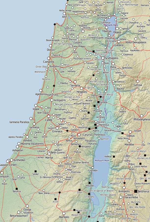
(Note the “Mortuum Mare” instead of the “Dead Sea.”)
Via O’Reilly Radar.